Job Board
Brockton invites qualified applicants for the full-time position of Geographic Information Systems (GIS) & Operations Technician. Reporting to the Director of Operations, this position is responsible for performing and coordinating GIS with engineer and consultant related work within the municipality. This position will also be responsible for coordinating Operations data management and technical information to support the Director in legislative compliance. This position will support the Operations Department with capital asset planning and forecasting. Brockton - GIS and Operations Technician.pdfClosing Date: January 21st, 2026
The GIS Student will support the work of the Geographic Information Systems (GIS) team in the municipality; will utilize advanced tools in our Enterprise ArcGIS environment to perform cartographic, analytical, editing, and administrative GIS work. The student must have strong customer service skills and an interest in local government, as they will be assisting multiple departments with data analytics and reporting requirements. Chatham-Kent - GIS Student.pdf To apply, please click here. Closing Date: January 23rd, 2026
Town of Newmarket - GIS Analyst.pdf
Closing Date: January 26th, 2026
You will grow the business and top-line revenue via prospecting, client acquisition, account management and driving revenue growth for the Teranet Commercial Solutions businesses. You will be accountable for all aspects of the sales process from lead generation to deal closure. In this role, you will engage and foster strong relationships with key decision makers in Government/Municipal and Utility segments to articulate Teranets’ suite of products and solutions that help organizations succeed. Teranet - Account Executive.pdf To apply, please click here. Closing Date: January 31st, 2026
R.J. Burnside & Associates is seeking an Intermediate Transportation GIS Analyst, and is open to any of their locations: Orangeville, Barrie, Pickering, Newmarket, Collingwood, Mississauga, Hamilton, Wingham, Woodstock and Thunderbay. As part of their forward-thinking team, you’ll play a key role in delivering high-quality geospatial analysis and visualizations that support transportation planning initiatives. Your day-to-day will include:
Burnside - Intermediate Transportation GIS Analyst.pdf To apply, please click here. Submit a job postingTo submit a job posting, please send a document outlining the job description, including the closing date, to our web administrator. Each job posting is advertised in our regular eNews to our geospatial and information community. Please Note: Leadership Members are entitled to 2 Complimentary ePostings each member year. Please verify remaining credits prior to submitting a payment. Job Posting Costs
|
|
Grow your Geospatial and Information NetworkBeing part of the Ontario community connects you to other geospatial and information professionals across multiple sectors. Attending our events, workshops and webinars allows you to meet other users experiencing the same challenges that you face. It's an opportunity to build partnerships and share ideas. LinkedIn | BeSpatial YPN(Young Professionals Network) | Twitter
|


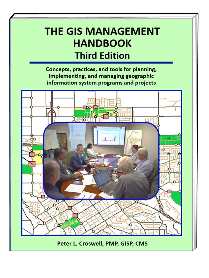
 GIS Management Handbook, 3rd Edition
 GoGeomatics Job Board

 Earn Professional Credits