


Unlocking the Future of Data
Canopy Mapping Co./BeSpatial
Annual Coding Competition

|
|

Unlocking the Future of Data
|
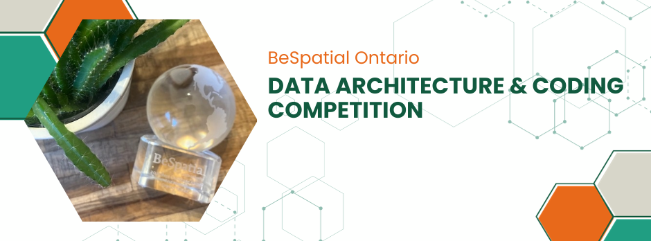
Congratulations to the winner of the 2026 Data Architecture and Coding Competition; City of Kitchener!The 2026 Data Architecture and Coding Competition is CLOSED for submissions
Data Architecture and Coding Competition: A joint initiative by BeSpatial Ontario and Canopy Mapping Co.—dedicated to nurturing innovation and excellence in the GeoSpatial industry. We seek your groundbreaking solutions—models, scripts, schemes, and applications. Share your problem-solving journey and contribute to our industry's growth. The winner, is announced at our annual event, and takes home a $500 cash prize and a prestigious trophy. It's a celebration of skill and creativity, inspiring others to push boundaries in data architecture and coding. For more information or clarification on participating in this competition, please send an email to the Education Manager. |
*Submissions can be anything that is not a map output (but can produce a map output)*
About UsWe are recognized as the premier geospatial and information non-profit organization in Ontario. where members share their experiences through networking and program events for the use and integration of spatial data, information, applications and technologies that provide solutions and solve challenges in both the public and private sectors. | Become a MemberShow your commitment to the Geospatial Community by joining us. Be part of a dynamic geospatial and information community whose mandate is to advance the effective application of spatial and information to enable business services and decision making. MEMBER BENEFITS Education and research. Networking. Discounts and member-only events. | Find UsContacts: For membership inquiries contact: Membership For website issues contact: Web All other inquiries contact: Info You can also check our FAQ
|
